We are thrilled to announce that NoaNet has been named a finalist in the prestigious U.S. Broadband Awards, specifically in the category of Best Broadband & Data Mapping Solution or Initiative. This recognition is a testament to NoaNet’s commitment to advancing digital equity through its innovative project, “Visualizing the Road to Broadband: NoaNet’s Broadband and Digital Equity Mapping Initiative.” NoaNet is proud to be considered among the other esteemed finalists are Esri Inc., recognized for their project “ArcGIS: Leveraging Location Intelligence to Bridge the Digital Divide,” ChatGIS and WiROI db Geospatial SaaS Platform representing Wireless 20/20, and Connected Nation for their Geospatial Services.
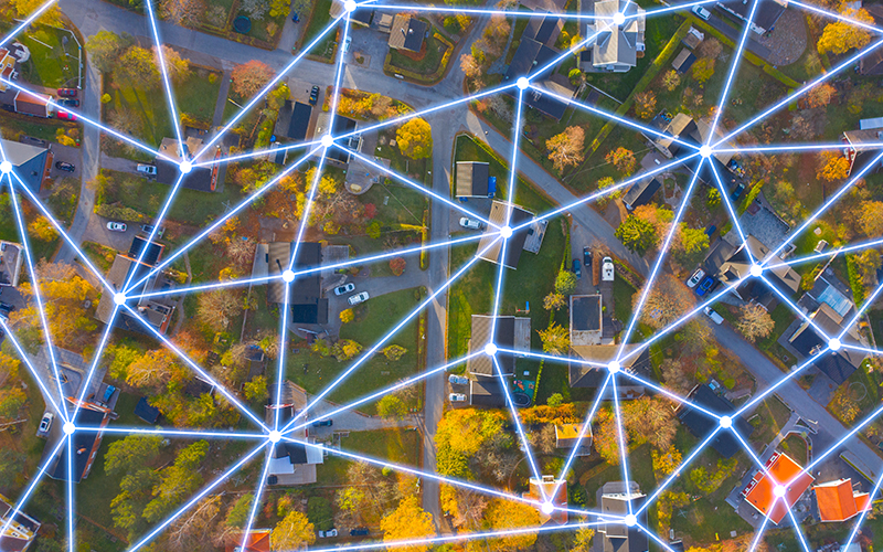
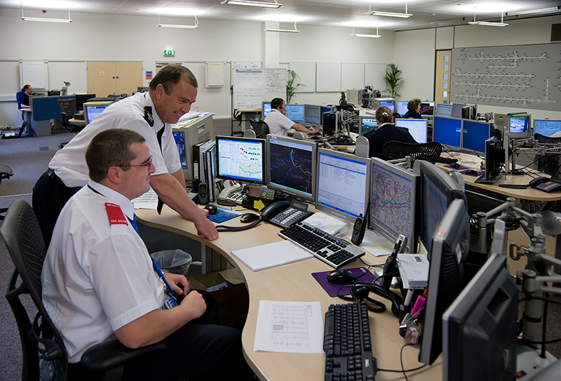
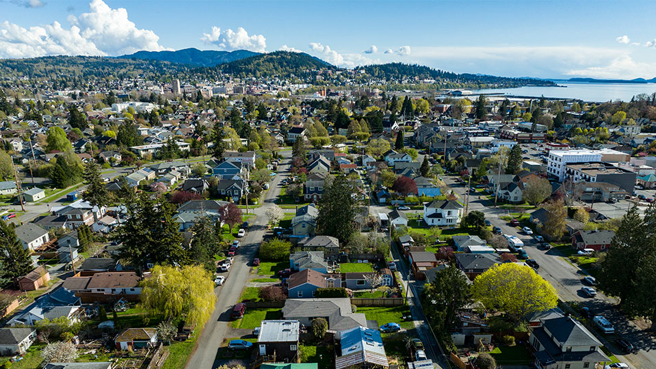
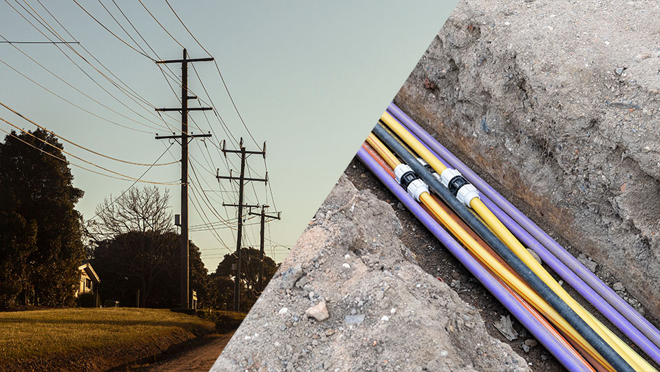
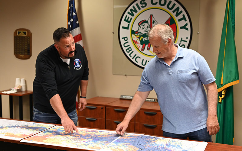
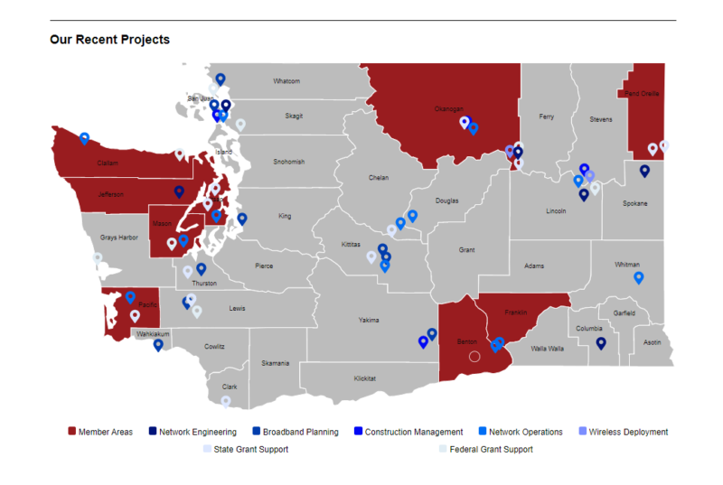
Collaborating with communities, local governments, and tribal nations, NoaNet goes beyond conventional mapping efforts to actively involve stakeholders and private providers in collecting essential data to make informed decisions about best pursuing local and regional broadband and digital equity initiatives. Metrics such as infrastructure availability, population distribution, ISP projects, digital equity resources, and potential partners are meticulously integrated into customized maps. Real-time community feedback through surveys enriches the accuracy and relevance of the data, providing a comprehensive and up-to-date representation. By identifying underserved regions, this mapping effort lays the foundation for targeted interventions that uplift marginalized areas, ensuring no one is left behind in the digital age.
A Blueprint for Transformative Change:
More than just maps, this initiative is a blueprint for transformative change. It paves the way for actionable strategies, informed decision-making, and resource allocation that maximizes impact. NoaNet’s project fuels partnerships, empowers local leaders, and fosters collaboration across sectors. It allows for progress measurement and ensures a continued focus on marginalized areas, building an open future for all citizens in the state.
Empowering Communities:
This dynamic mapping tool is powerful for community engagement, empowering residents to voice their needs, concerns, and aspirations. “Visualizing the Road to Broadband” is not just about technology; it’s about uniting communities under the banner of connectivity, ensuring everyone can participate in the digital revolution.
Real-World Application:
NoaNet’s mapping initiative has proven itself to be an indispensable tool with real-world applications, playing a pivotal role in shaping the data gathered through a partnership between the Washington State Broadband Office and Washington State University Extension in a public outreach effort aimed at informing Washington State’s understanding of these important metrics from a community-by-community level. The initiative’s collaborative approach, involving communities, tribal nations, and stakeholders, laid the groundwork for an accurate representation of broadband access and digital equity gaps across the state.
A Unique Solution:
What makes NoaNet’s solution unique is its ability to visualize data holistically, integrating social, economic, geographic barriers and physical infrastructure availability. By presenting data in visually comprehensible formats, the initiative empowers communities to proactively shape their connected future, advocating effectively for the essential infrastructure necessary for success.
As NoaNet proudly stands alongside these industry giants as a U.S. Broadband Awards Finalist, we celebrate not only our accomplishments but the collective strides made toward a digitally inclusive future for Washington State. Together with our partners, we are mapping a path that goes beyond connectivity—it’s a journey towards empowering communities, fostering innovation, and ensuring that no one is left behind in the digital age. The road to broadband is indeed a shared endeavor, and we are honored to be at the forefront of this transformative movement.

